31 Walks in 31 days in 31 different neighborhoods spelling out "31 Walks January 2017 FunADay PGH!"
In 2017 I decided to incorporate WATSOP into this, my second Fun-A-Day project. Always fascinated by the resulting shapes when using the Map My Walk app, I decided to walk each day with a predetermined shape in mind. Ultimately settling on creating letters and numbers, to further increase the challenge I imposed a few rules for the project:
- All characters should orient north to south (ie: no rotating the resulting map).*
- All walks should be at least one mile.
- Each character should come from a different neighborhood.
- Initially I would not allow any editing of the resulting map image, but there were a few instances where I needed to edit, such as when the phone battery died mid walk, or the cell signal failed me, or I tacked extra streets to the walk.
Using MapMyWalk app to create letters and numbers. Week 1.
Though I meant for this project to help me cross off Pittsburgh streets, a scheduled trip to Florida had me taking the walks "on the road". This provided additional challenge to the project. Travel days ate up the majority of the day and daylight, so I walked as best I could in the airports.
Airport walk in Charlotte, walking a "dog".
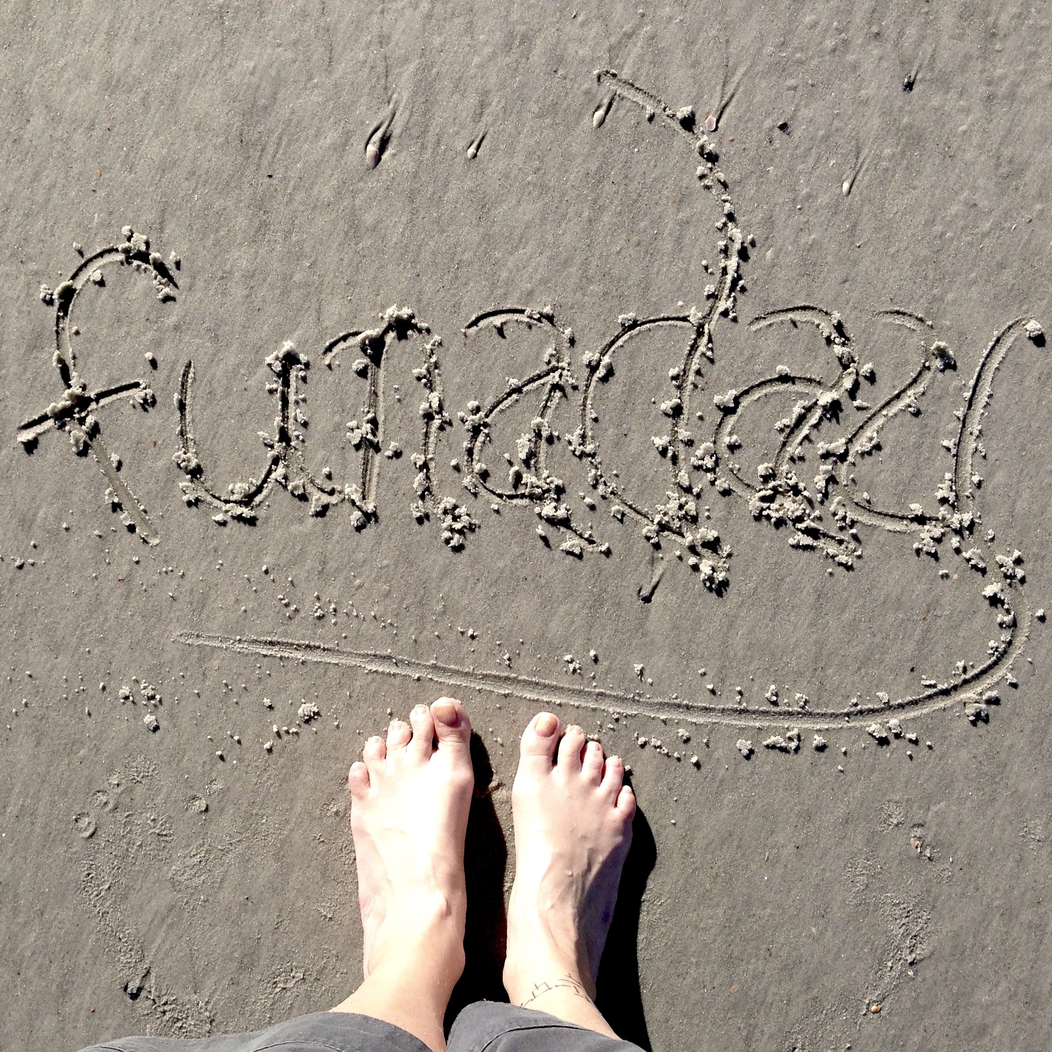
Sadly Jacksonville, FL is not an inspiring place to walk. The neighborhoods are uninteresting housing developments and strip malls, streets are sparse on the landscape and usually consist of offshoot dead-ends and cul-de-sacs. However, there is a beach!
Day 24: Jacksonville Beach, FL
So here I proudly present the results of my January 2017 Fun-A-Day project: 31 walks spanning 2 states and 31 neighborhoods, including one beach and two airports, in temperatures ranging from a windchill low of 2° to a high of 79° through rain, snow, sun, clouds, and wind. "31 Walks January 2017 FunADay Pgh!"
* Due to the size of the "signature" on the beach I had to rotate to increase the walk to a viewable size.
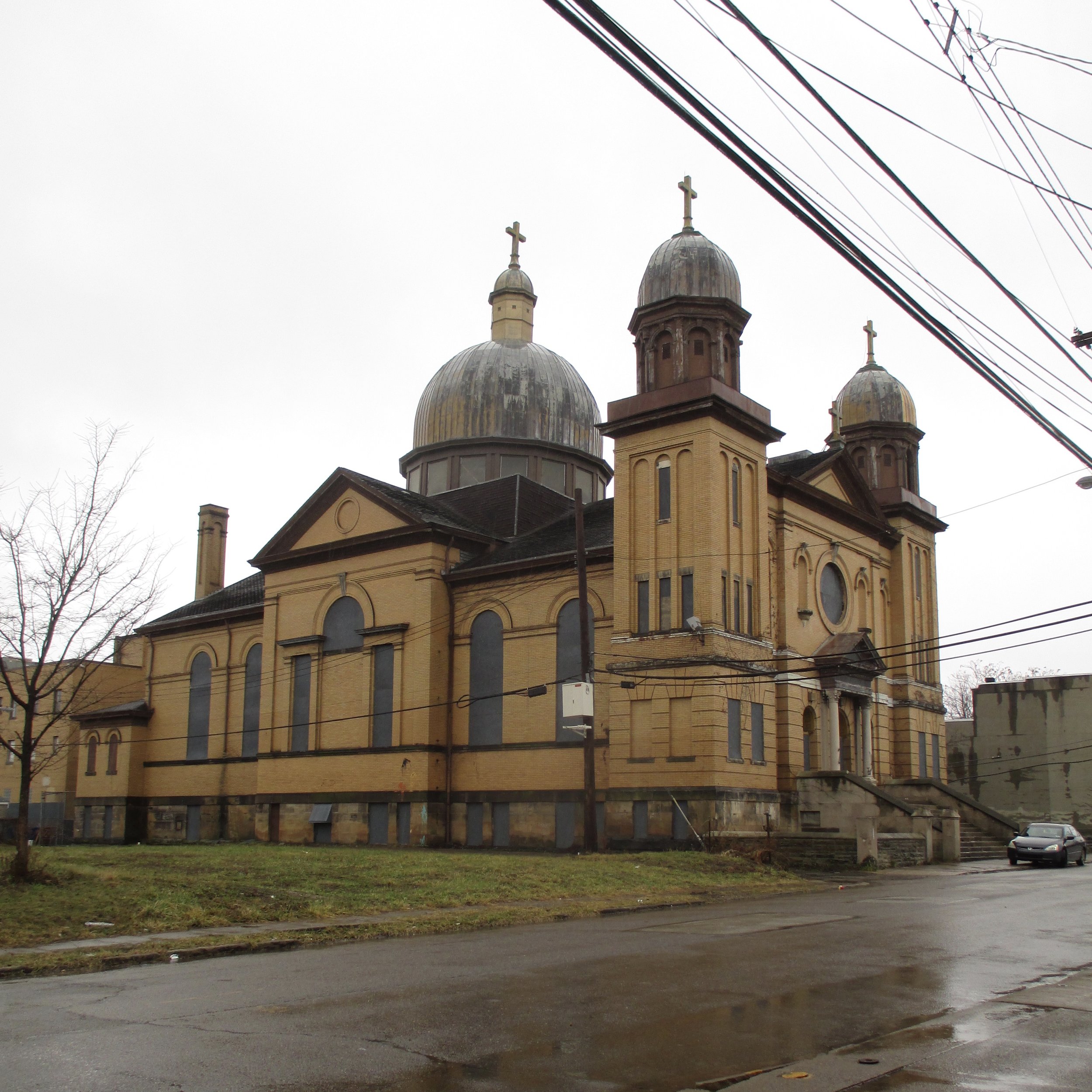
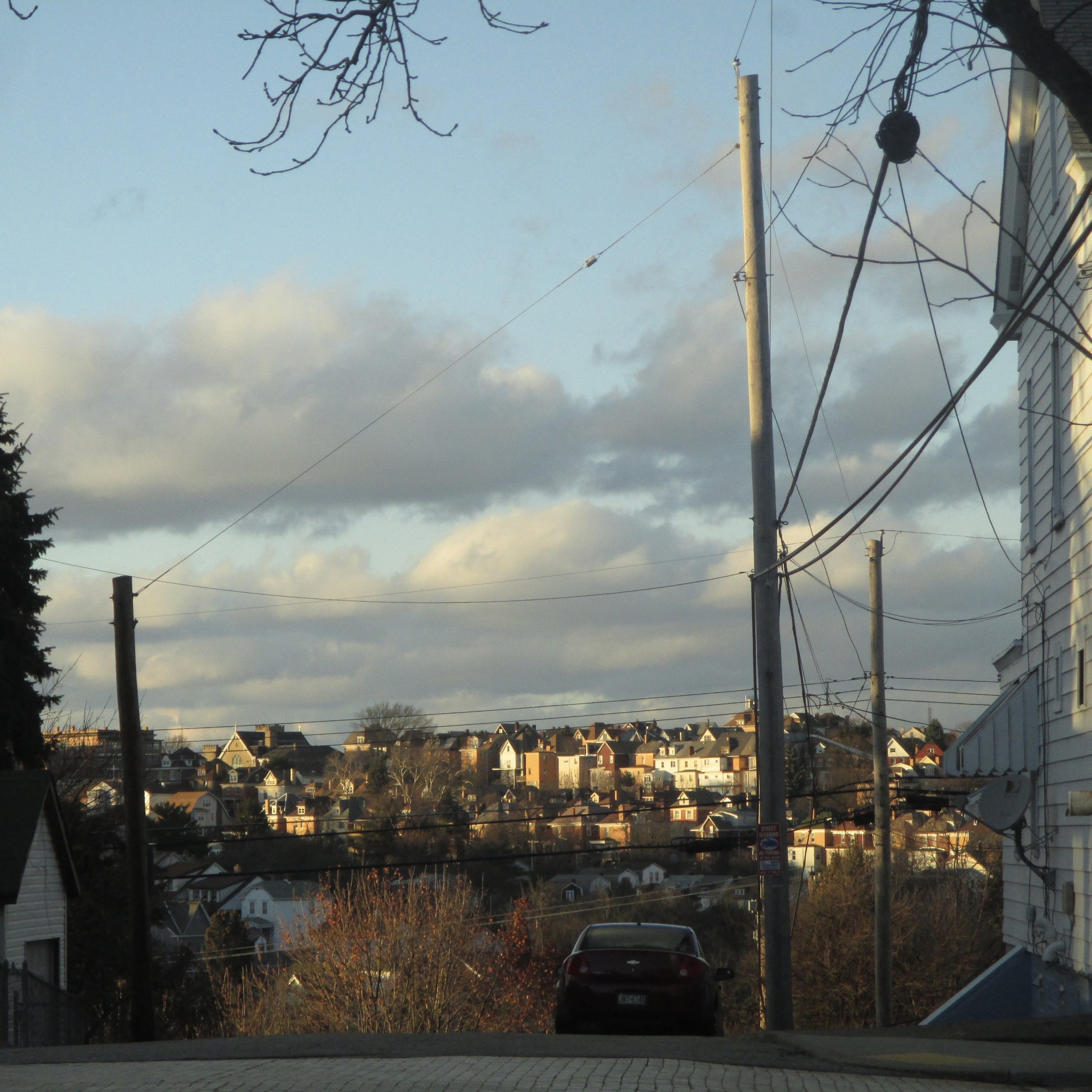
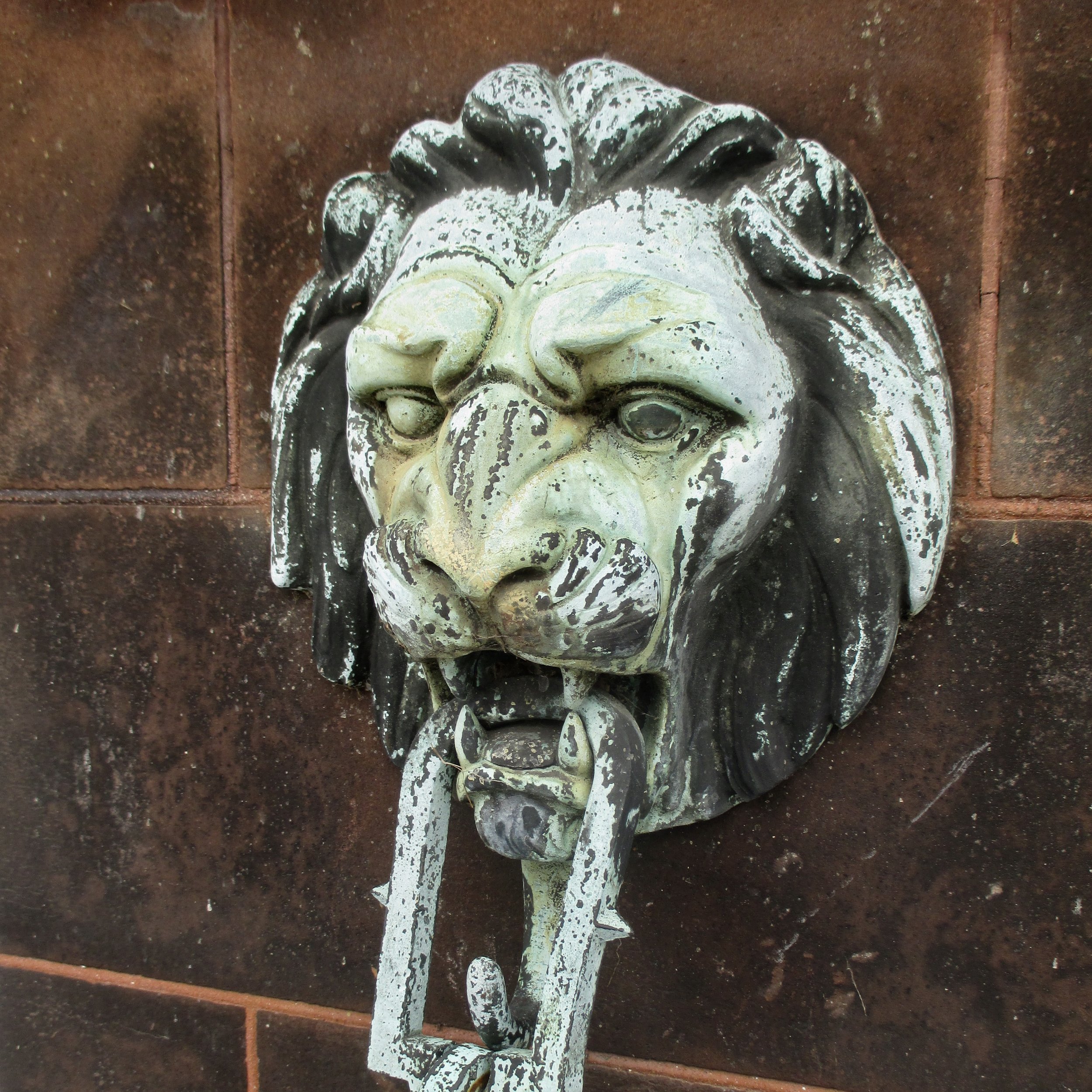
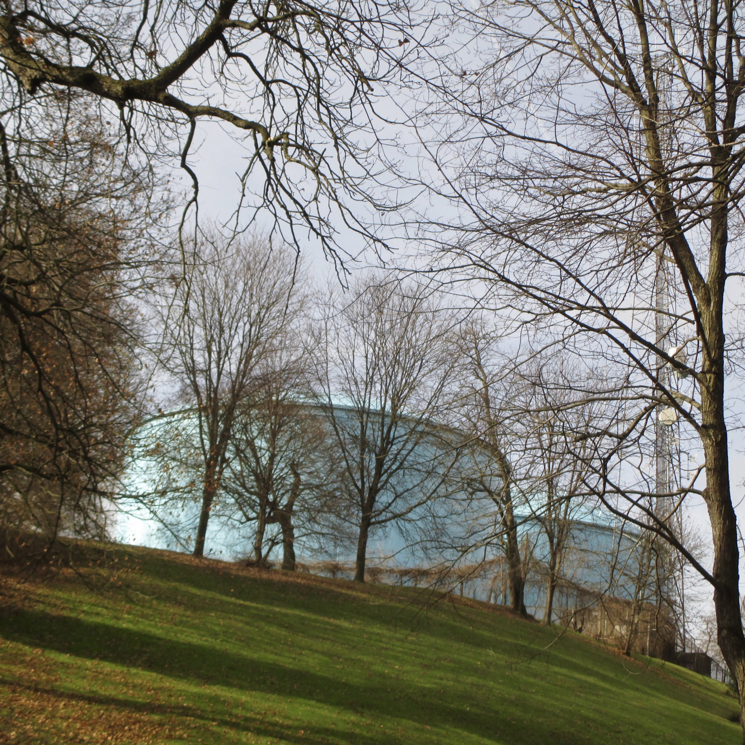
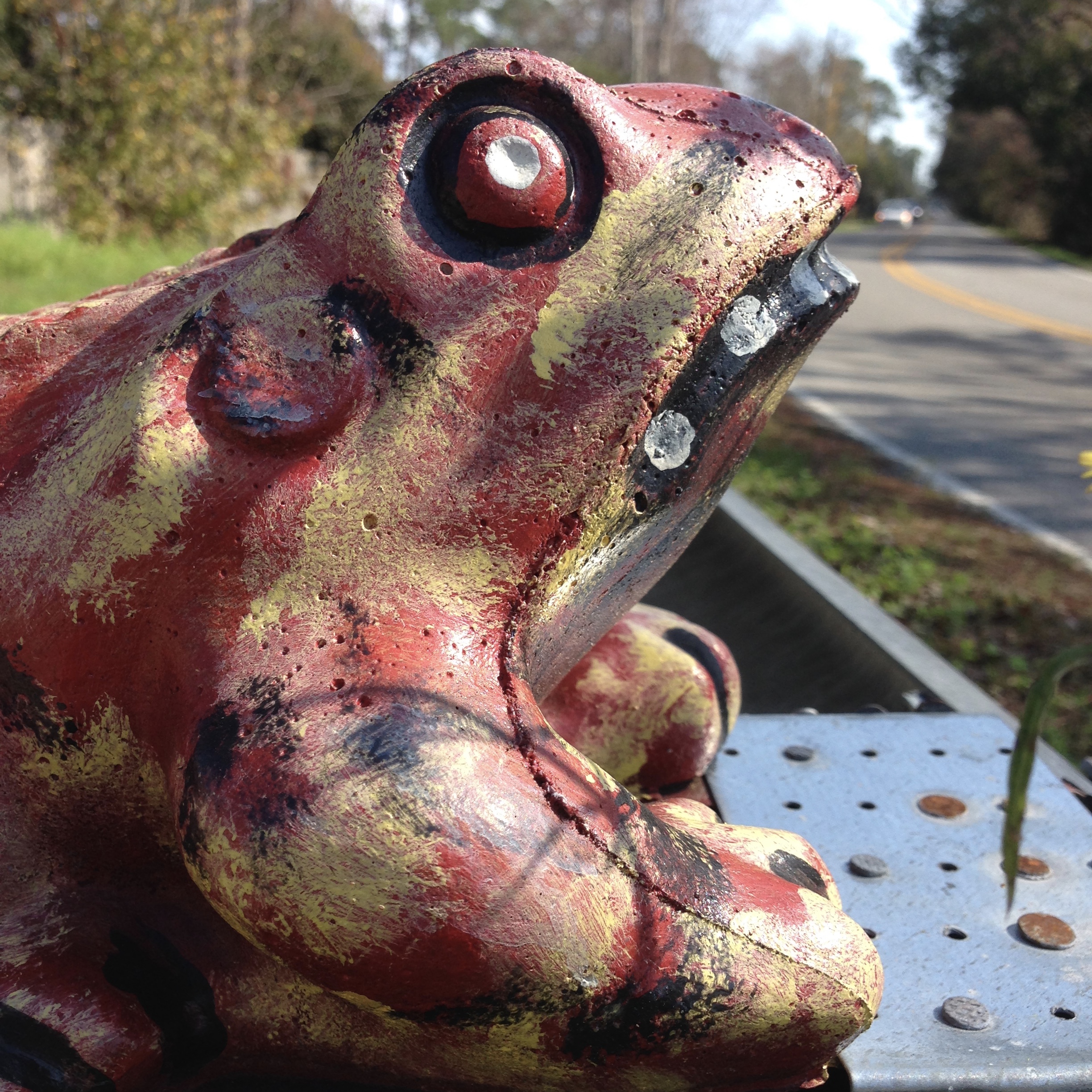
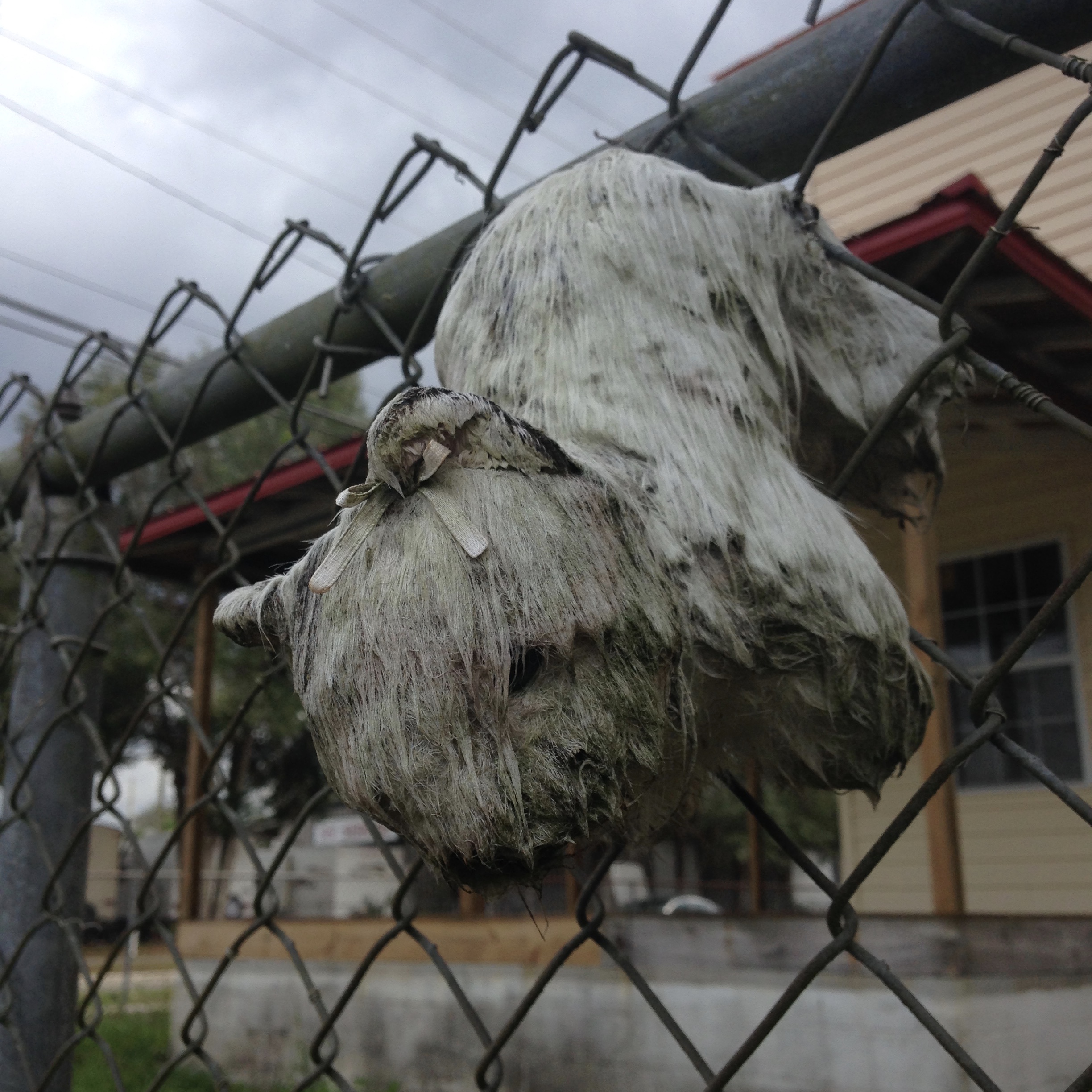
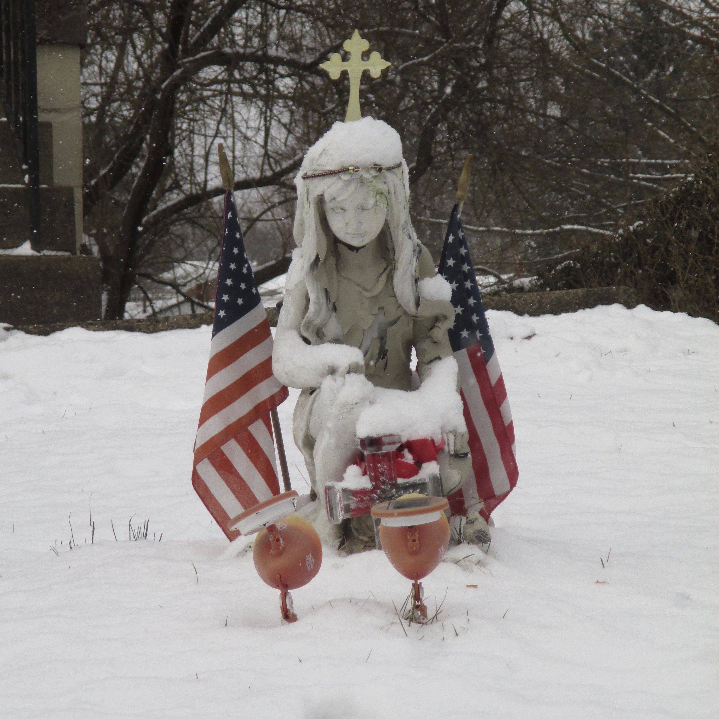
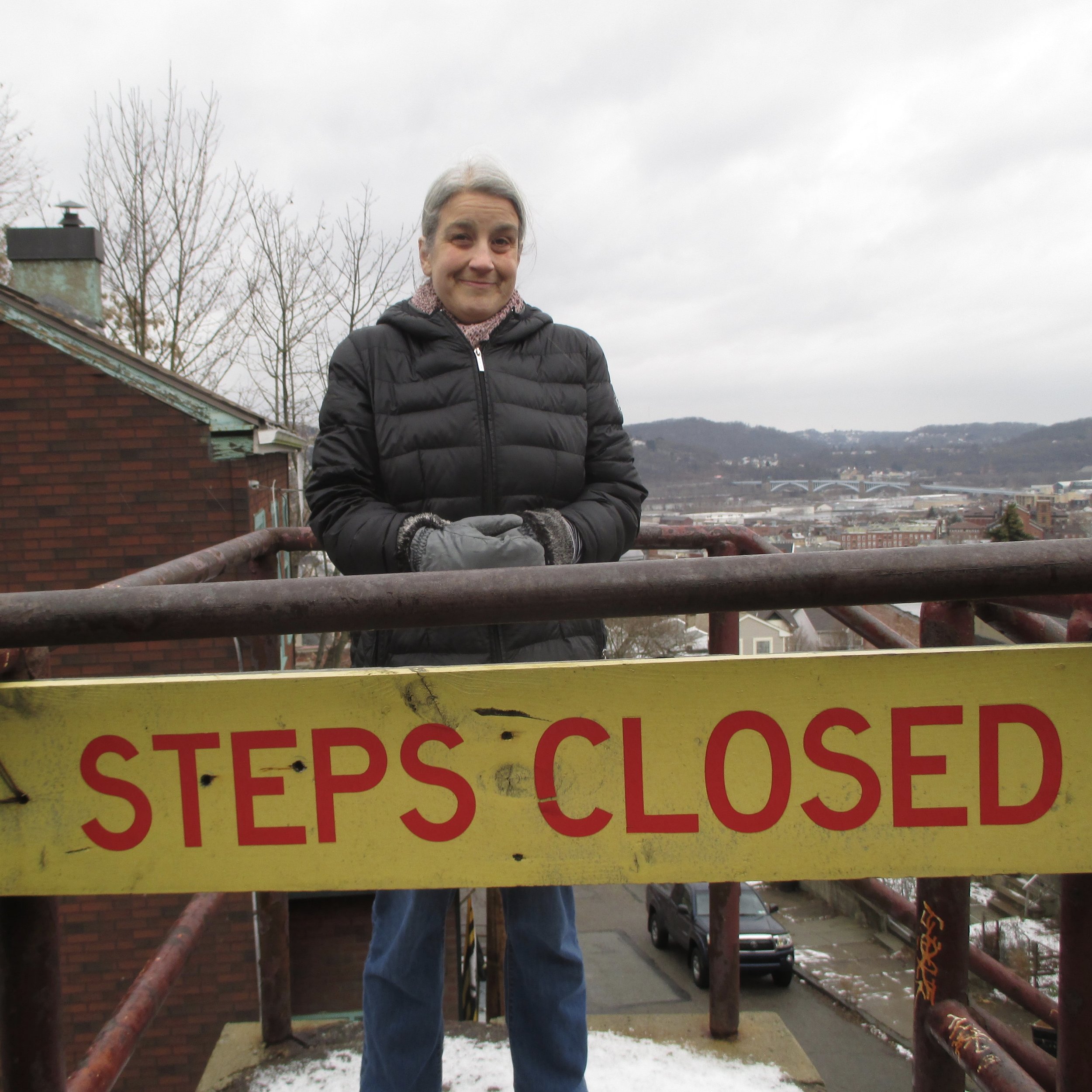
And here is a better view of the accompanying photos from each day's walk.
